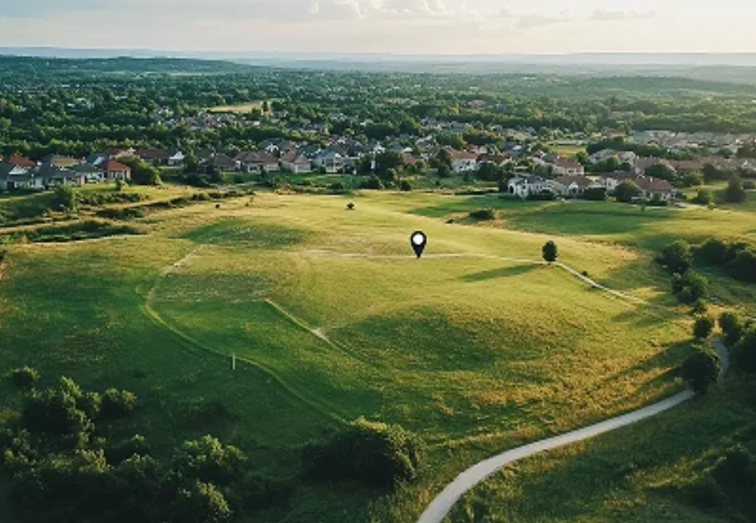
The Bangalore Metropolitan Region Development Authority (BMRDA), along with local planning authorities, is notifying a new grid of future roads across Bengaluru Urban areas that fall outside the newly formed Greater Bengaluru Authority (GBA) limits, according to reports from Deccan Herald, ThePrint and The South First. Greater Bengaluru Development Minister Krishna Byre Gowda said the road network has already been identified through a drone survey, and the stated goal is straightforward: plan the roads before the outskirts fill up with layouts, homes and commercial development, rather than trying to retrofit wider roads into an area that's already built out, which is largely how central Bengaluru's traffic problem came about.
1. What's Actually Being Notified
The grid connects taluk headquarters, hobli headquarters, major district roads, state highways, the Peripheral Ring Road and the Satellite Town Ring Road (STRR), and has been notified as Comprehensive Development Plan (CDP) roads in a grid pattern meant to support planned urban expansion rather than sprawl. Several existing corridors currently maintained by the zilla panchayat, the Public Works Department or as state highways, some only 10 metres wide today, have been notified for much larger widths: 30 metres, 45 metres and, on some stretches, up to 90 metres. Once a stretch of land is notified this way, new development plans, including fresh layouts, will not be approved on it. The government has said it will publish the full list of affected properties on the BMRDA website, and also make it available at panchayat and revenue offices, so individual landowners can check whether their specific survey number falls within a notified corridor.
2. Why This Matters If You Own or Are Buying Land on the Outskirts
For most buyers evaluating a plot in Bengaluru's expanding outer belt, Kanakapura Road, Mysore Road, Nelamangala, Doddaballapura and similar corridors within the wider Bangalore Metropolitan Region, this notification cuts in two directions worth understanding before you book anything.
- It's a long-term positive for planned growth. Areas that get road reservations locked in now are far less likely to face the kind of ad-hoc, decades-late road-widening drives that have disrupted established Bengaluru neighbourhoods, where owners along a narrow road suddenly lose a portion of their frontage to a widening project. Buying into a corridor where the road network is already mapped out removes a layer of long-term uncertainty.
- A notified road can also add value to adjoining plots. Land that ends up fronting a newly widened 30, 45 or 90-metre road typically commands a premium over interior plots once the road is actually built, since frontage and connectivity are the biggest drivers of plot pricing on the outskirts.
- But it also restricts what can be built where the grid actually falls. Informally sub-divided land, or layouts that haven't gone through proper DC conversion and approval, are the ones most exposed if a notified road alignment cuts through them. This is exactly the kind of risk that disappears when you buy into a BDA or RERA-approved layout from an established developer rather than an unapproved site.
3. What to Check Before You Book a Plot
If you're actively shortlisting a plotted development in this belt, ask the developer directly whether the project's internal roads and boundary have been checked against the newly notified CDP grid, and once the BMRDA publishes its list of affected survey numbers, verify your specific plot against it. Projects that are already RERA-registered and BDA or BMRDA-layout-approved, such as Sattva Green Groves in Nelamangala and KNS Samooha, also in Nelamangala, carry far less exposure to this kind of after-the-fact restriction than an informal site does, since their layouts have already been through formal planning approval. The same logic applies further along Kanakapura Road at Assetz Meru & Meadows, on Mysore Road at KNS Sampada, and in Doddaballapura at Sattva Ekatra.
The Bottom Line
Karnataka's new road grid is a planning-ahead move for a part of Bengaluru that is growing fast and unevenly, and it signals the direction connectivity is headed across the wider metropolitan region, towards the PRR and STRR corridors in particular. For plot buyers, the practical takeaway is simple: once the affected-property list is published, check your specific survey number against it, and lean towards layouts that already carry BDA or BMRDA approval and clear RERA registration, since those are the ones least likely to run into a conflict with the new grid down the line. We've covered the wider outskirts investment case in our Nelamangala and Tumkur Road guide and our plots vs apartments comparison. Talk to our team if you'd like help verifying a specific plot's approval status before you buy.